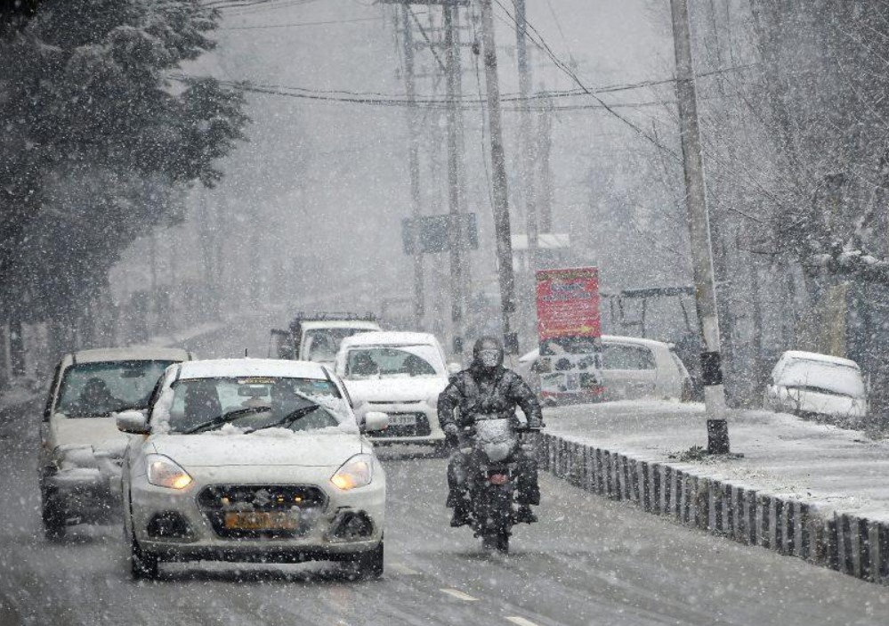
According to local weather forecasts, parts of Jammu and Kashmir may experience light rain or snowfall through Tuesday morning. This activity is driven by a secondary, weak Western Disturbance currently affecting the region.
Current Trends and Observations
- Plain Areas: While higher altitudes have seen activity, the plains have remained free of snow due to unseasonably high temperatures.
- System Status: Forecaster Keng noted that while the primary weather system has exited the region, the incoming weak disturbance will maintain cloud cover and localized precipitation.
- Primary Impact Zones: Activity is most likely in North Kashmir and higher elevations between Monday afternoon and early Tuesday.
Temperature and Precipitation Outlook
While significant snowfall is not expected for the majority of the region, the timing of the precipitation is key:
- Nighttime Cooling: If precipitation occurs during the overnight hours, the dip in temperature could cause rain to turn into snow, even in some lower-lying areas.
- Residual Moisture: Due to the moisture left by the previous system, there is a lingering possibility of light flurries or showers, particularly across the mountain peaks.